Gallery
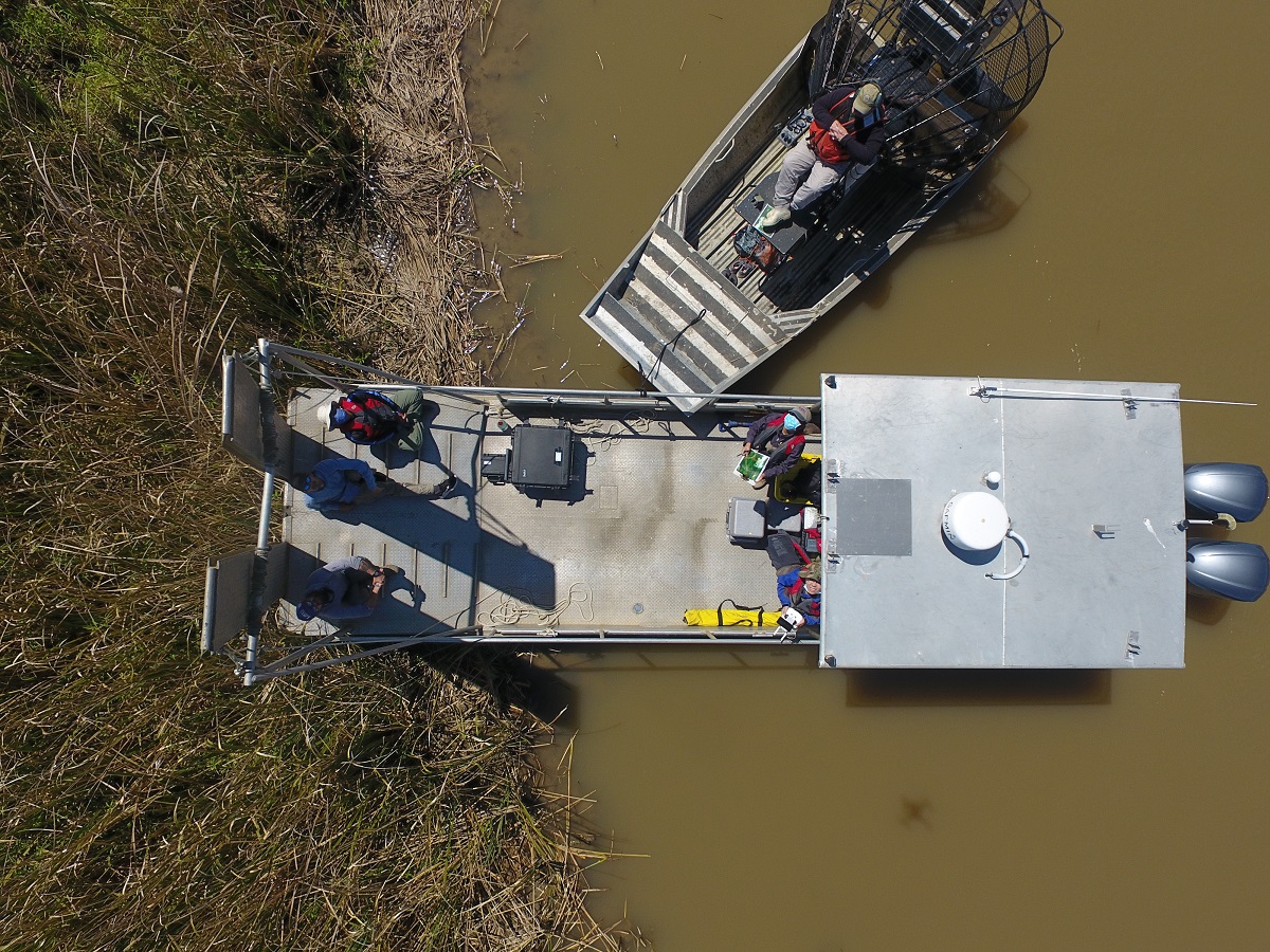
Field data collection
Deploying a drone for wetland habitat mapping.
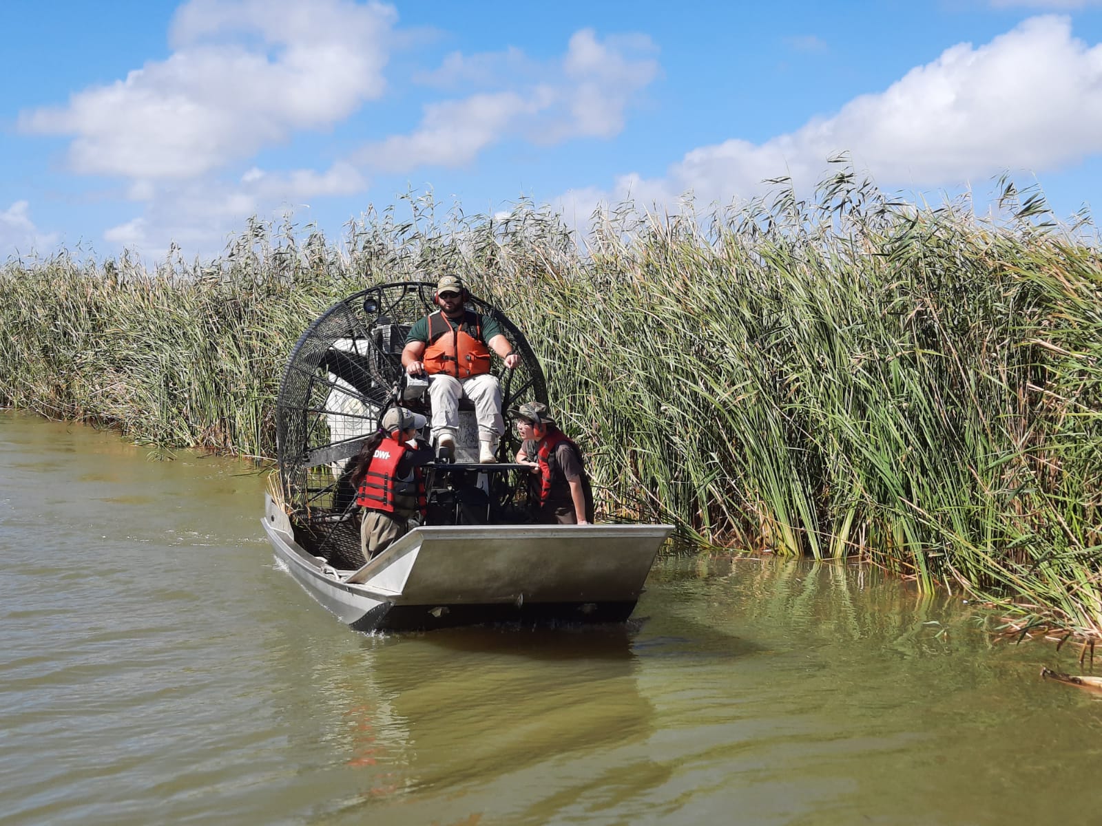
Wetland survey through airboat for shallow water sampling. The background is delta Roseau cane.
Student activity pictures
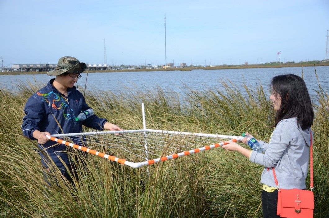
Students survey plant cover through a quadrant during a class field trip.
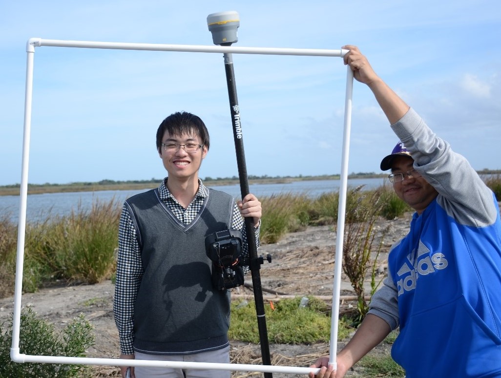
Student Anliu Jiang enjoyed taking profile picture during a field trip.
View more student activity pictures.
Projects and research activities
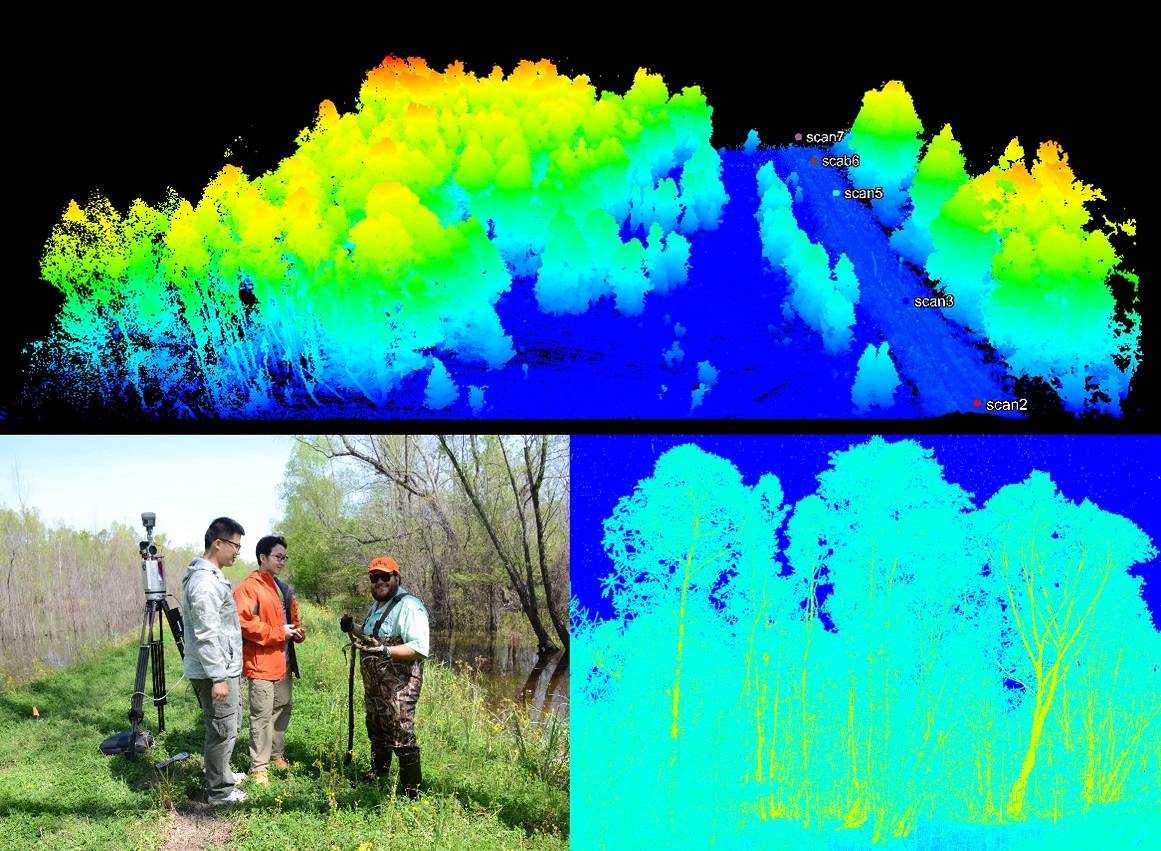
Graduate students conducted terrestrial LiDAR scan for a black willow forest.
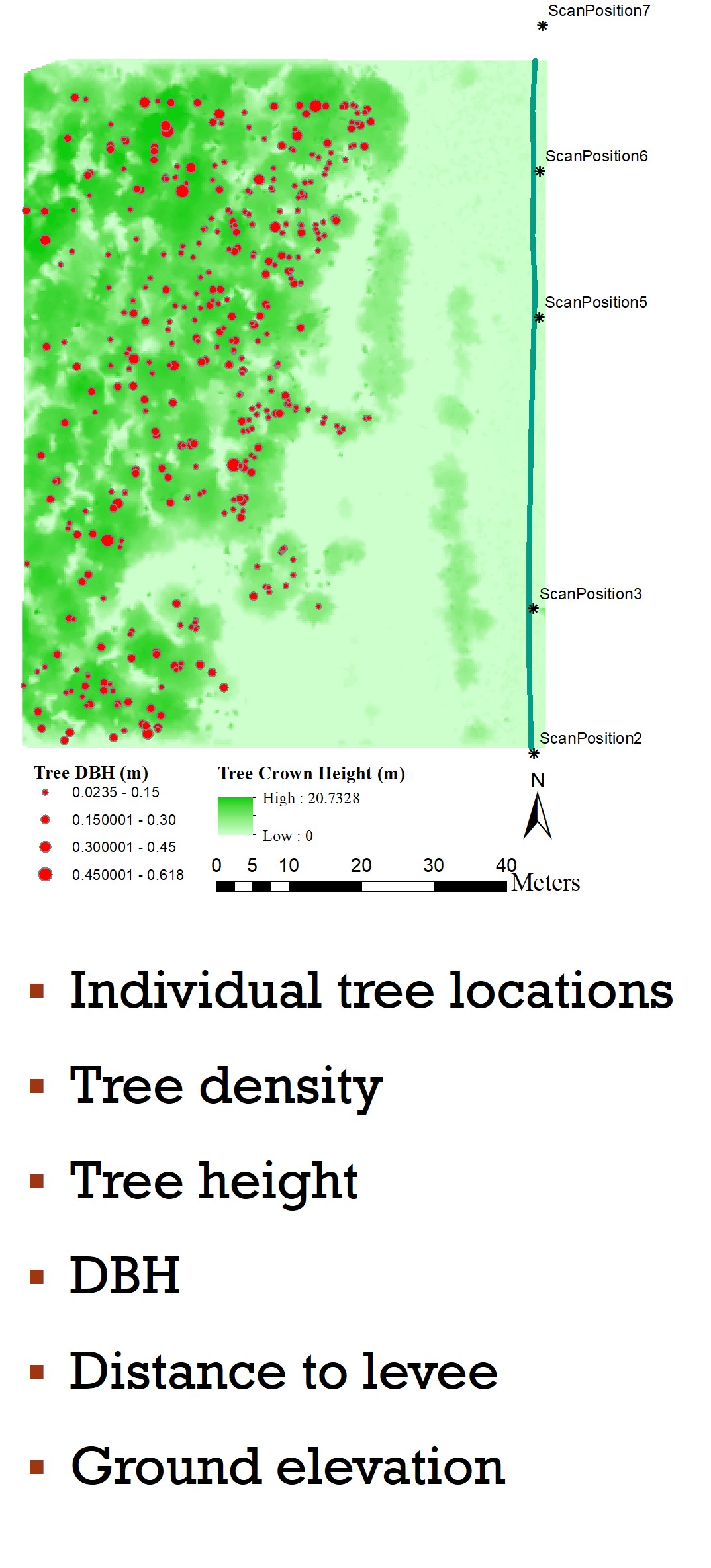
Individual tree level information derived from terrestrial LiDAR survey.