Pictures from field data collection
Graduate Student Xukai Zhang was conducting terrestrial LiDAR survey for the restored wetland berm.
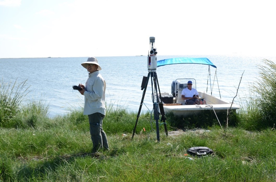
Shelley and Xukai was conducting bathymetry profile survey for the wetland restoration site.
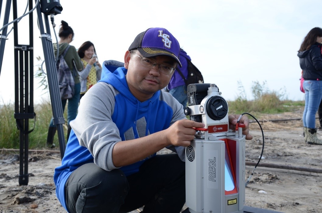
Visiting scholar Yong Xu practiced terrestrial LiDAR survey.
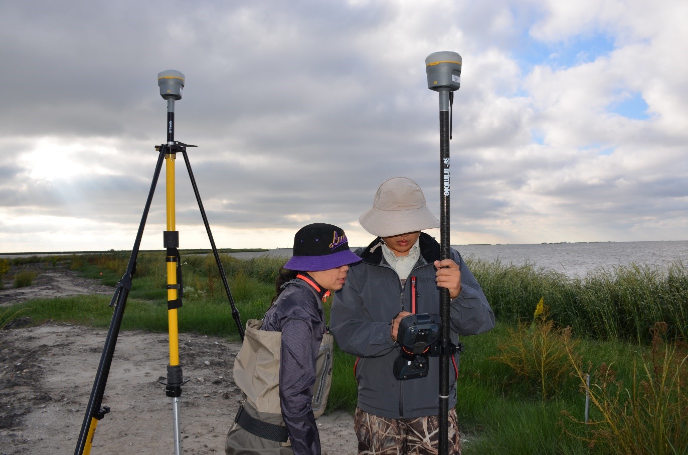
Shelley and Xukai was operating RTK GPS R10 for the drone and terrestrial LiDAR based wetland restoration project.
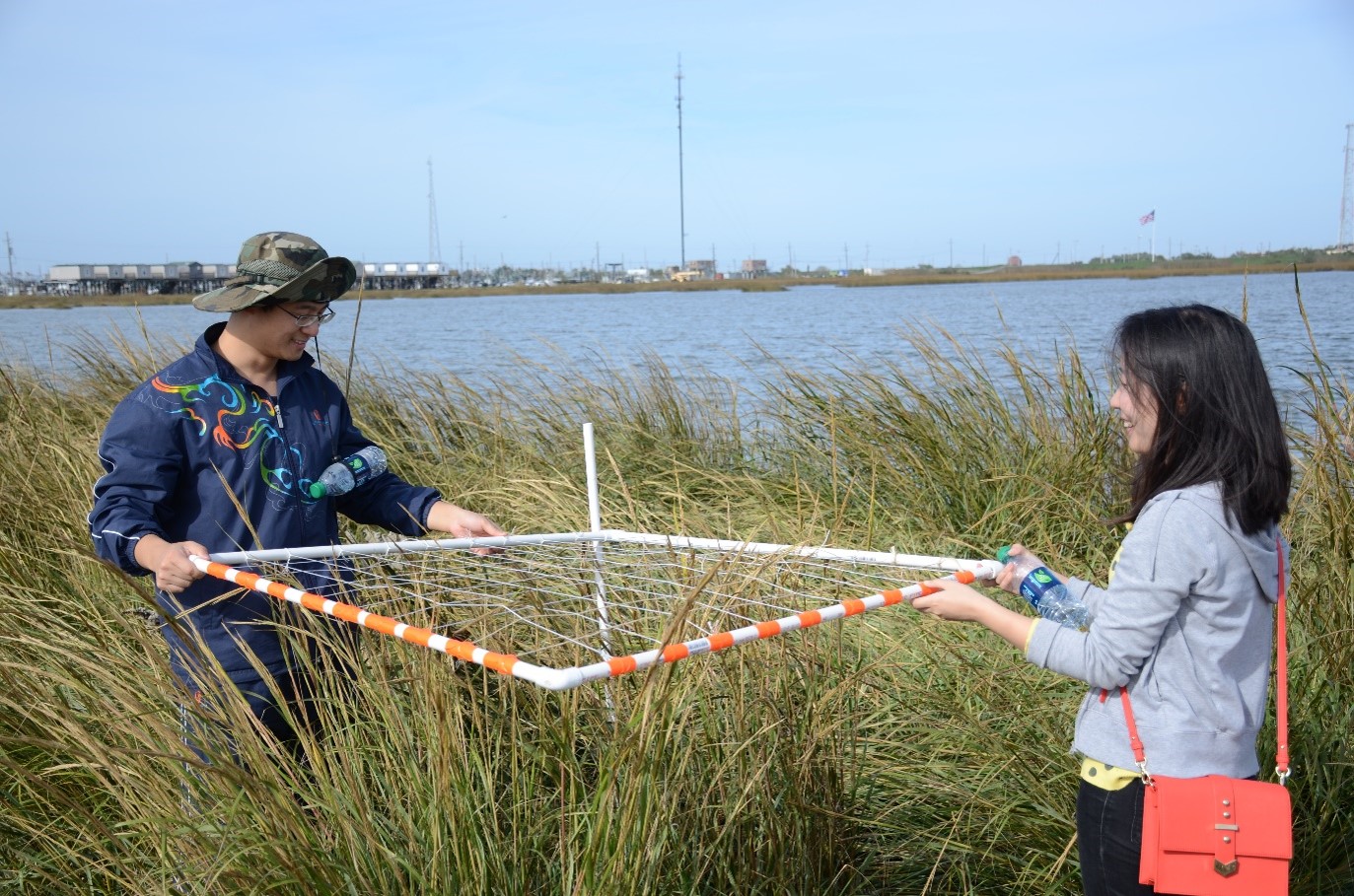
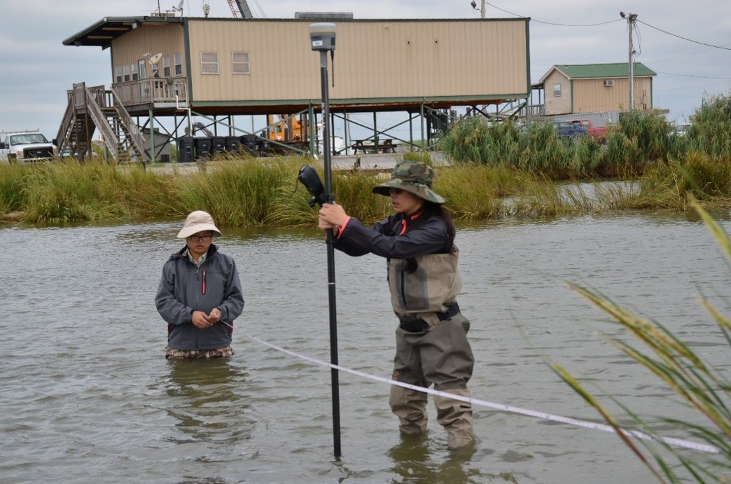
Students were conducting vegetation cover field survey.